Montgenèvre
& Monts de la Lune
FR / IT · 110 KMFor skiing around Montgenèvre: Gondrans, Chalvet, the Aigle sector and the link towards Clavière. This is the most useful map for a typical day on the local ski area.
 Ski & snowboard • Montgenèvre
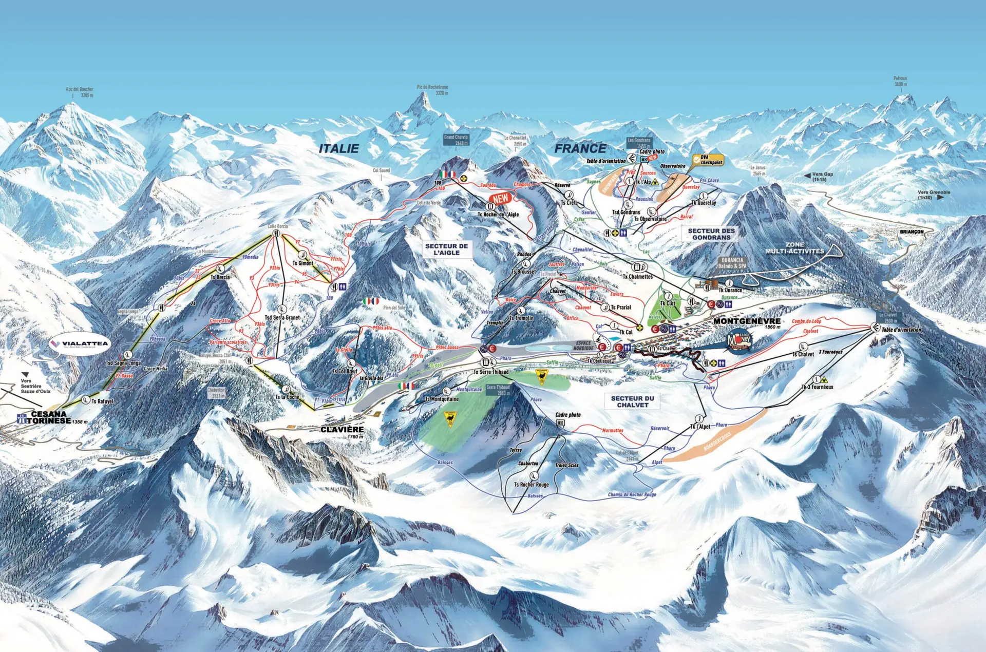
From Montgenèvre, you can ski on both the French and Italian sides. These maps make it easier to find your way around, choose where to ski and plan your day.
01 / Piste maps
Start with the Montgenèvre and Monts de la Lune map for skiing around the resort. If you are heading further into Italy, the Via Lattea map gives you the full picture.
For skiing around Montgenèvre: Gondrans, Chalvet, the Aigle sector and the link towards Clavière. This is the most useful map for a typical day on the local ski area.
For a longer day out: Clavière, Cesana, Sansicario, Sestriere, Sauze d’Oulx and Pragelato. This map shows how the French and Italian sectors fit together.
02 / A few useful facts
Montgenèvre is a mountain village at 1,860 m, with the ski slopes starting right from the village.
The ski area has green, blue, red and black pistes, with gentle terrain for beginners and more technical skiing when you want it.
From Montgenèvre, you can ski across to Clavière and continue into the other Via Lattea sectors, depending on your lift pass and which links are open.
There is also the Citadelle fun piste, the snowpark at Gondrans and the boardercross on the Chalvet side.
Three useful scales: Montgenèvre ≈ 95 km · Montgenèvre + Monts de la Lune ≈ 110 km · Via Lattea ≈ 400 km. Access to the different sectors and links depends on your lift pass and current openings.
03 / Ski with an APEAK instructor
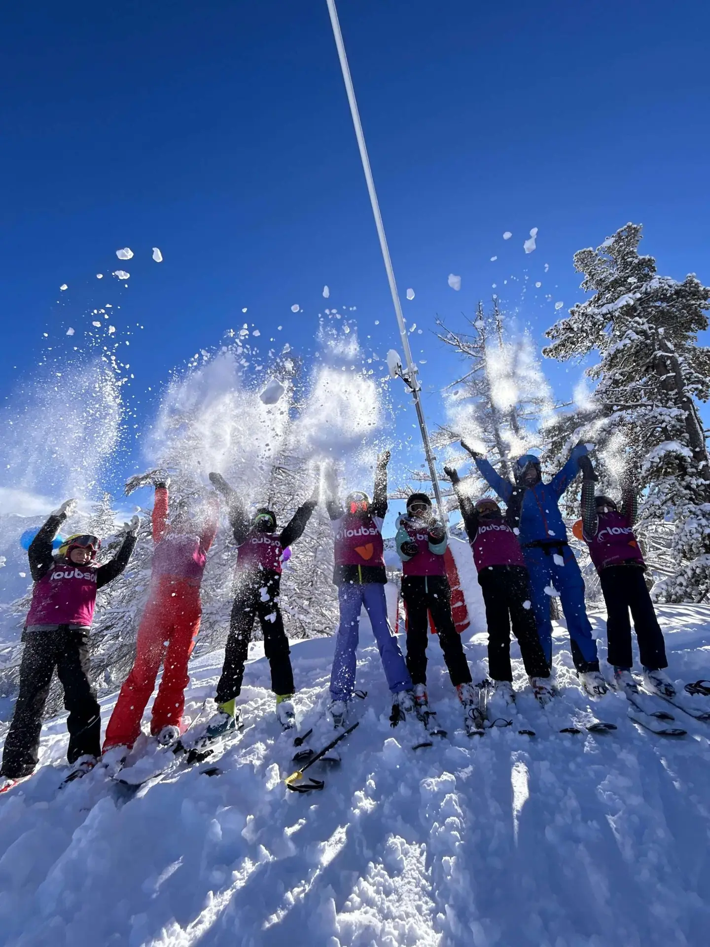
We have been teaching in Montgenèvre since 2001. We simply adapt the lesson and the choice of pistes to your level and what you would like to do.
Small groups where children can learn to ski and progress at their own pace.
Children’s ski lessons Ski / Snowboard · PrivateFor beginners, improving skiers or families who want to ski with their own instructor.
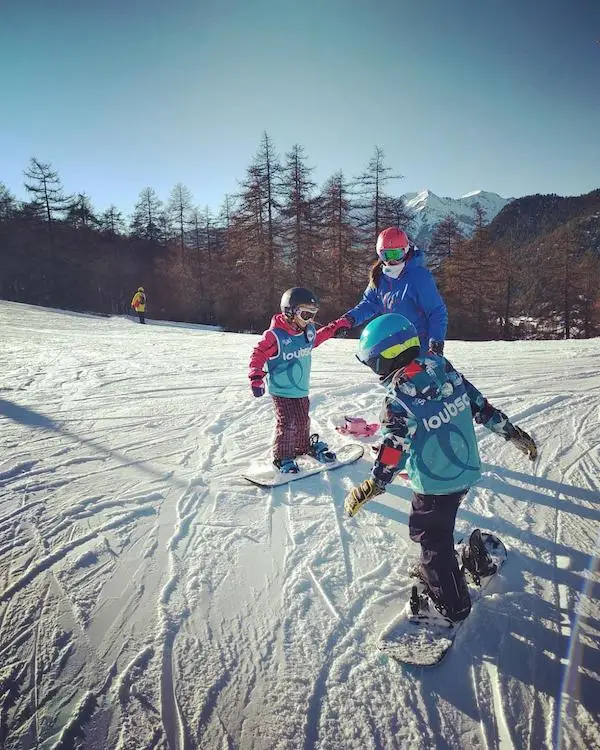
Private lessons From age 7 · Group lessonsSmall-group lessons for learning to snowboard or taking your riding further.
Snowboard lessons Guided day · ItalyA day with an instructor to explore the different Via Lattea sectors without spending half your time working out where to go.
Explore the Via LatteaESI APEAK · In Montgenèvre since 2001 · Qualified ski instructors · Lessons in English, French and Italian.
You can enlarge the Montgenèvre and Monts de la Lune map on this page, then open the official PDF if you want to save it. The “Live piste status” link takes you to the resort’s current snow and opening information.
Montgenèvre has around 95 km of pistes. With the Monts de la Lune, the local area extends to around 110 km. The Via Lattea is the larger French-Italian ski area of around 400 km that includes Montgenèvre. Choose your lift pass according to the sectors you plan to ski.
Yes. The ski area has green and blue pistes as well as dedicated learning areas. At ESI APEAK, children’s group lessons start from age 3½ and private lessons from age 2½. The instructor chooses terrain that suits the skier’s level.
ESI APEAK · Montgenèvre
You can book online. If you are unsure about the right level, time or lesson format, get in touch and we will help you choose.